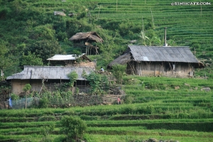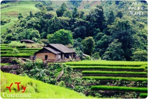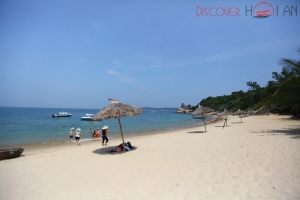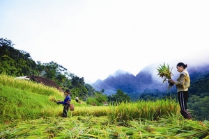


For the most pleasant weather, the best times to visit Sapa is March and May or mid-September to early December. While trips can be enjoyed year-round, the winters in Sapa get cold, with some fog and drizzle, and the summers have the hottest weather and higher chances of rain, with the rainy season starting in May through September.

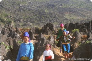
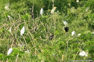
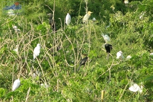
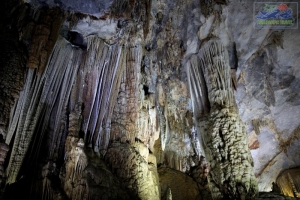
The Hoang Lien Mountains are home to a rich variety of plants, birds, mammals, amphibians, reptiles and insects, many only found in northwestern Vietnam. For this reason, the Hoang Lien Nature Reserve was made a National Park in 2006, and covers much of the mountain range to the immediate south of Sa Pa.
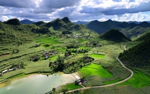
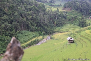
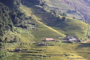
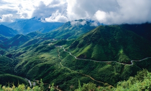
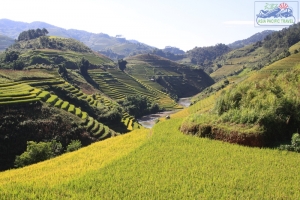
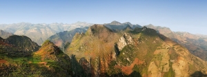
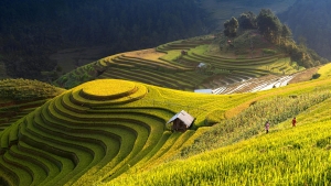
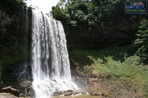
Forest type and quality change with increasing altitude. At 2000 meters the natural, undisturbed forest begins to be seen. Above 2500 meters dwarf conifers and rhododendrons predominate in the harsh “elfin forest”, so called because a lack of topsoil and nutrients means that fully mature trees grow to measure only a few meters in height. Higher still, only the hardiest of plant species are found. At over 3000 meters, Fan Si Pan’s summit can only support dwarf bamboo.
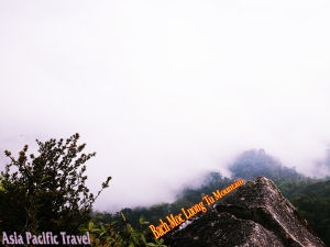
The climate of Hoang Lien National Park is unique to Vietnam. It is highly seasonal, with a subtropical climate in the summer and a temperate climate during the winter. Mean annual temperature for Sa Pa town is 15.4°C, with a maximum of 29.4°C and a minimum of 1°C. The warmest months are July and August, and the coldest months are December and January. Snow falls in some years on the highest peaks.

Climate varies considerably within the national park. The prevalent wind direction for most of the year is west to east, leading to cloud formation on the upper slopes of the Fansipan massif. These high-altitude areas are covered by cloud most days of the year and have very high humidity. Cloud also penetrates into the valleys but these areas are usually less humid than the mountain slopes. In the extreme east of the national park, around Ban Ho village, mean temperatures are considerably higher due to the lower altitude of these areas.